May 1, 2016
We have hiked at various places in or around the Ashland area such as
Grizzly Peak,
Oredson Todd Woods,
Lithia Creek,
Ashland Meadows and
Wagner Butte, but have never hiked trails near or around the Green Springs Summit. So when our sister Karen wanted to join us for a hike, we decided to head for the Summit and try a new short loop trail called the
Green Springs Mountain Loop.
 |
| A sign that says "it's time to hike". |
Although the Pacific Crest Trail has been around for some time, a few years ago a connector trail was added which connects two points of the PCT to form a loop. Although only 2.9 miles long, the loop allows you the opportunity to hike the PCT and get a sampling of the beauty in this area. It's also a great hike for the family.
 |
| A birdseye view of where we were and the loop trail |
After taking a few short side roads from the summit on Highway 66, we arrived at the trailhead parking lot which has room for about 6 vehicles. It was just a short walk down the road to where the
Pacific Crest Trail comes across the road and heads north to start our hike.
The PCT quickly arrives at a "fork in the road" and you can hike the loop in either direction. We decided to hike counter-clockwise and start with the connector trail and then hike the PCT south back to the starting point.
 |
| Blue skies and white puffy clouds - beautiful day for a hike! |
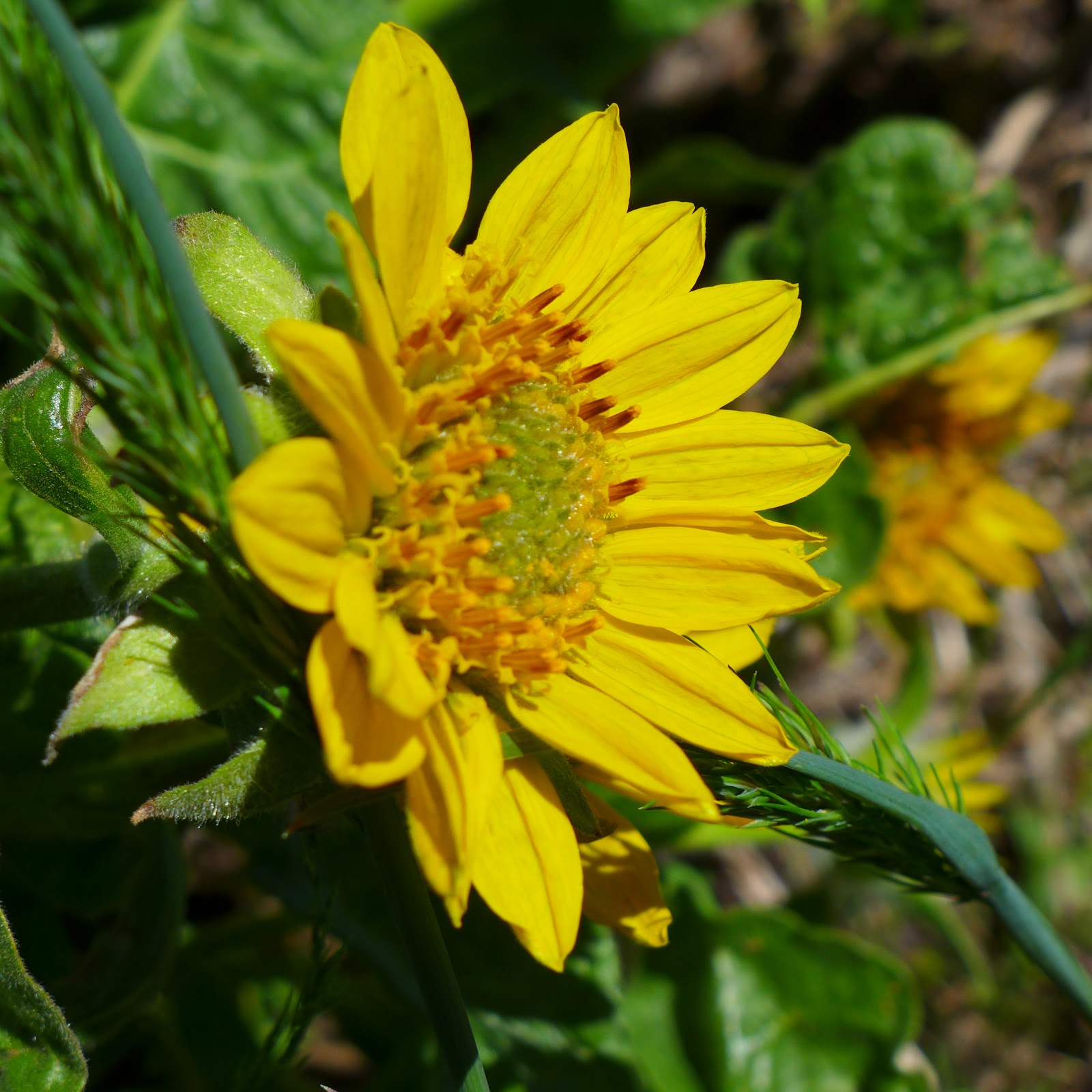
The connector trail is a mere .75 miles but takes you through beautiful wooded areas where we saw Trilliums, Snow Queen and Yellow Violets along the trail. We did have to cross a few down trees, but that is typical this early in the hiking season. We also had to pass through one gate which was either to keep cows out or the hikers in - not sure which.
 |
| Katie leading the way through one of the meadows on the PCT |
It didn't take long till we intersected with the PCT again. You can continue north on the PCT from here and hike a couple of miles to
Hyatt Lake, but for our hike we made a left hand turn and took the PCT south for about 2 miles till it met the connector trail intersection to complete the loop.
 |
| Mission Bells |
Even though some parts were through wooded areas again, the trail does take you through a couple of meadows that allow you wonderful views of the surrounding mountains and Pilot Rock. We saw a few more varieties of wildflowers in these meadows like Larkspur, Fawn Lilies, and Ballhead Waterleaf. We were even treated to a pair of Mission Bell flowers -- a sight we have seen very few times while hiking.
 |
| View of Pilot Rock |
When our loop was completed, it was just a short hike down the road and back to our car. Our hike lasted a mere 90 minutes but provided us with some wonderful views, beautiful woods and flowers, and whetted our appetite to return to the summit and hike the PCT to either Hyatt Lake (north) or Hobart Bluff (south). Look for that posting in the near future.
Trekking Together
Glenn & Carol