Tuesday, May 30, 2017

Union Creek Trail - The 11 Year Curse

May 28, 2017

Eleven years ago, back in 2006, we had just begun to make hiking a regular part of our life.  That  year we hiked 16 times for a total of 53.9 miles. The longest hike by far was in October when we hiked the Union Creek Trail in hopes of seeing Union Creek Falls - which we did not, due to the water being so low since it was late in the year.  We didn't do any posting of our hikes back then and we didn't even have a digital camera!  How times have changed.

Time to hike
So here we are in 2017 with almost 2,000 miles of hiking under our belts and we figured it was about time to try the Union Creek Trail again and see the falls. After all, there should be plenty of water in the creek from this winter and spring!

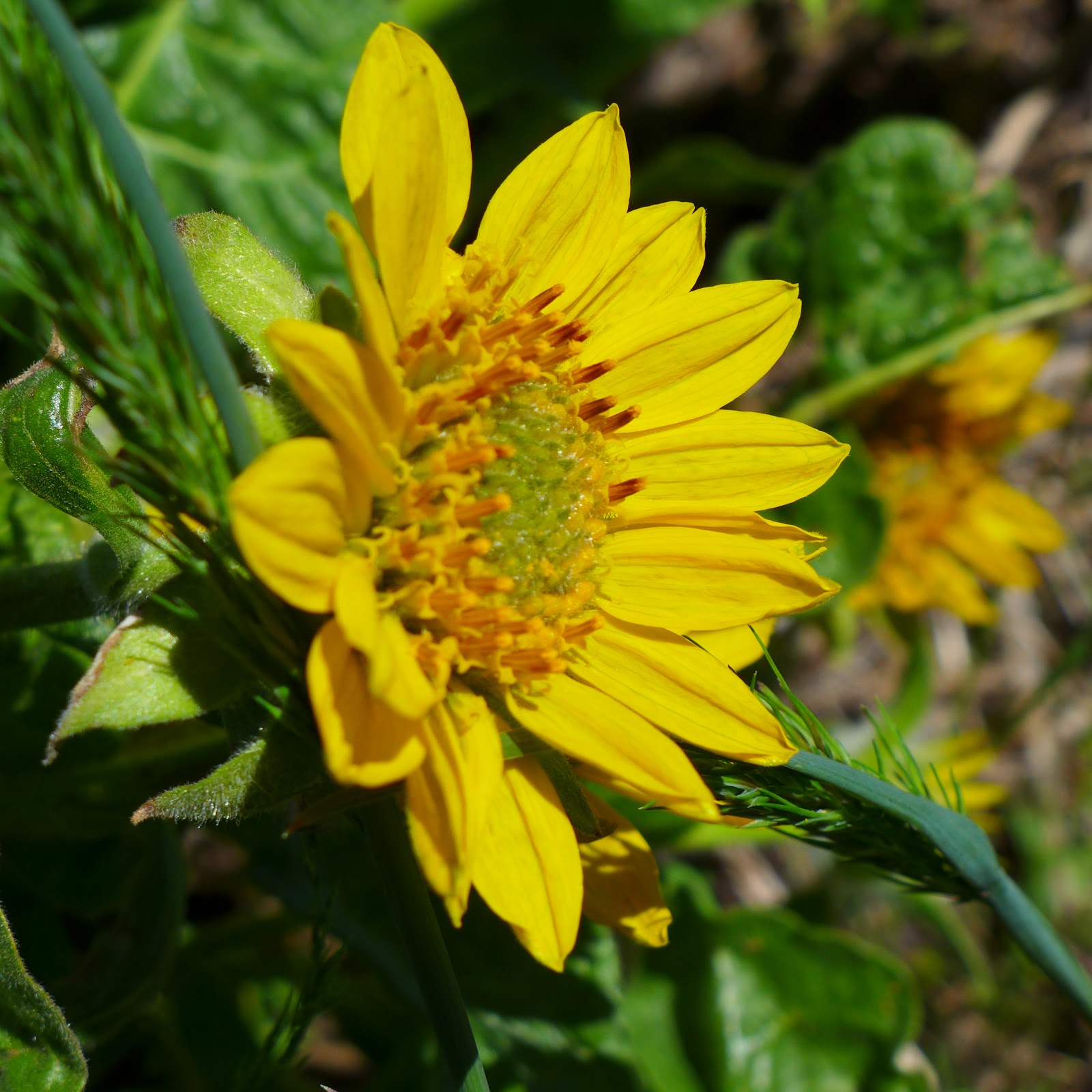
Vanilla Leaf was a constant companion on this hike
After arriving at the trail head located on highway 62,  we started our hike only to run into another couple heading our direction, They informed us that the bridge leading over the creek was gone and that we would have to go back to highway 62 and hike around the store and a few cabins to pick up the trail on the other side.  This in itself should have set off bells and whistles, but on such a beautiful day and with the creek full and more like a river in appearance, we continued on.

One of many trees that fell across Union Creek this winter
Union Creek looking more like a river.


As we found the trail and continued on, the first couple of miles were very nice.  The creek was beautiful and stayed within sight of the trail as we navigated around or over a few down trees with no problem.  But then the fun began. (Jaws music please)  The next couple of miles turned into an adventure as the few down trees became groupings of down trees mixed with brush.  We climbed over, got on all fours to crawl under, and in many cases made wide detours to get around the trail blockage.  Some portions of the trail were under water or completely washed away.  Oh yeah, and the mosquitoes took advantage of any stops we made while trying to figure out the trail route.  Katie of course seemed to enjoy all of this and saw no problem going under, over or around the trees and could always find her way back to the trail.  Mud and water on the trail - just walk in and through it.  And so she did.

One of the many small waterfalls along Union Creek
We eventually came to a very large side creek and had to cross by tightrope walking on a very large fallen tree that went over the creek.  When we came to a second log crossing of a side creek, Glenn found out that not all logs are sure and steady and proceeded to cool off his leg and foot in the creek as the log rolled.  At this point we were at the 3.3 mile mark on the trail even though our mileage was now up to 4 miles due to detours. We stopped and took a break beside the creek at a nice 7-foot waterfall.  No, it was not the Union Creek Falls.  That was still almost another mile up the trail.

Looking downstream at our turnaround spot on the trail.

Looking upstream at our turnaround spot on the trail.


After cooling off and catching our breath, we decided to call off our pursuit of the falls and head back, knowing that if we continued on we would be hiking close to 10 miles and that it would take another 3-4 hours to finish hiking.  So back we went through the same log crossing - under water and washed away - tree and shrub blocked detours again.  By the time we got back to the trailhead, we were very tired, hot and scratched up. We bought a couple of ice cold sodas at the store and sat down on a bench to take in the view of Union Creek once more before leaving.  After all, we probably won't hike this trail again for another 11 years.

Trekking Together
Glenn & Carol


Monday, May 29, 2017

Hobart Bluff

May 21, 2017

Last year we hiked twice from the Green Springs Summit area. First a short hike on the Green Springs Mountain Loop trail (2.9 miles) and then a week later a 10+ mile hike north along the Pacific Crest Trail to Little Hyatt Lake.  Both were beautiful hikes filled with wildflowers.  This year we decided to start another hike at the Green Springs Summit, but this time head south on the Pacific Crest Trail and visit Hobart Bluff.

Time to hike!
We arrived early in the morning as we wanted to be done hiking before the heat (seems strange to say that) arrived, but were surprised that upon arrival the winds were really blowing.  It felt like being at the coast! Our hike south along the PCT begins by passing between private properties, so we stayed strictly to the trail and enjoyed hiking through open meadows as well as shaded forested sections.

A warning to the wise.
The early wildflowers have come and gone in the lower elevation Rogue Valley area, but here at the summit it was like going back in time.  We got to see Snow Queen, Yellow Violets, Fawn Lilies, Cat's Ear, Trillium and Buttercups again as the spring wildflower parade was just beginning.  As a matter of fact, we were surprised as we came across a few snow patches along and on the trail which Katie really enjoyed.

First little patch of snow along our hike.


A beautiful trillium

PCT passing through one of the meadows
After about 3.5 miles of trail, we came to the Hobart Bluff overview trail and made a right turn.  This side trail to the bluff may be short, but if was also steep. Along the trail to the bluff there were lots of Phlox and bright yellow Balsaamroots as well as even more wind!  We even found a cairn which caused Katie to celebrate. We took a break on the bluff and enjoyed views of Mt McLoughlin, Mt Ashland, and Mt Shasta.

The trail  UP to Hobart Bluff begins

Balsaamroot

Katie celebrating a Cairn

View of Mt McLoughlin from Hobart Bluff

On our return leg of the hike we came across at least four other pairs of hikers.  It was nice to see so many people getting out and enjoying the trails.  In terms of wildlife along the trail, we did scare a pair of deer, had a Northwest Tree Frog cross out path, and ended with a lizard posing long enough to have his picture taken.

Pacific Tree Frog
A lizard that holds still.
We really enjoyed hiking the PCT to Hobart Bluff and have put this hike on our list of "hike-agains".  If  you ever get the chance, be sure to visit the Green Springs Summit area and try one of the many hikes available. Whether it's a short, mid-range, or long hike, we're sure you will enjoy all the beauty and views this area has to offer.

Trekking Together
Glenn & Carol


Sunday, May 7, 2017

Siskiyou & Siskiyou View Trails

May 7, 2017

With all the new trails being made here in Southern Oregon, even the maps for the various hiking parks are outdated once they are printed.  So it was no surprise that we found a newer trail when hiking a new trail that wasn't even on the map at the Jacksonville Forest Park.

New trail......and yes, it was steep and narrow.
When we last hiked at the Jacksonville Forest Park in March, we saw a sign for the new Siskiyou trail. The trail at that time was still being finished so we did not hike it.  But now that the trail is completed and the sun was shining with temps in the 70's, we ventured out to hike at least a  portion of this new trail.

The "Beauty" part of the Siskiyou trail.....


....and the "Beast" part of the Siskiyou trail.


We parked at the main area just inside the park boundaries and began by hiking the Rail trail to the Ponderosa Snag trail till we came to the official start of the Siskiyou trail.  It was only .5 miles to reach the trailhead.  The Siskiyou trail wasted no time in qualifying for "steep" as the first .3 miles were switchbacks and uphill!

One of the many great views along the Siskiyou trail.
The trail then had various uphill and downhill segments as most trail do, but overall stayed level and wound it's way through meadows & forested areas while providing momentary views of the surrounding Jacksonville Hills.  We also saw lots of wildflowers during our entire hike like Paintbrush, Cat's Ear, Larkspur, Sea Blush, Fiddleneck, Balsamroot and more.

Balsamroot

Blue Dicks

Groundcone

At about 2 miles into our hike, we came across another trail, the Siskiyou View trail which was not listed on the map.  We decided to try this side trail and found that it becomes a loop trail with a spur to a viewpoint.  Even though the entire length of the loop and spur trail was only a mile, we were limited on time today. So after completing the loop trail,  we decided to backtrack along the Siskiyou trail to a connector trail for the Norling Creek trail.

What? Another new trail off the new trail?


The end is near.....


....and the end is here!


Once on the Norling Creek trail we headed back towards the parking area but not before hiking through the Norling Creek Wetlands area.  This wetlands habitat is in the process of being restored and we saw a few geese and ducks already enjoying the benefits.  The overflow from the wetlands area cascades down into the creeks below where there was bench for relaxing to the sound of the cascading water.  It appears that maybe picnic tables or other benches are in the works for this area which would be great.

One of the small waterfalls along Norling Creek


Geese enjoying the Norling Creek Wetlands Area


Our hike seemed to end too quickly,  but it was a beautiful day and we enjoyed venturing out on a new trail.  We hope to return to the Siskiyou trail and hike it all the way to the Pipsissewa trail and Granite Falls. But that trail is not scheduled for completion till Autumn of 2017.   Guess that is one hike we will have to wait on.

Trekking Together
Glenn and Carol